Topographic Surveys / Measured Building Surveys
Topographic Surveys
The purpose of these kind of surveys is to serve as a base map for the design of a residence or building of some type, or to design a road, railway or any other type of structure that would be located on the surveyed area. Topographic Surveys are used to identify and map ground levels and existing features on the surface of the earth or slightly below or above the earth's surface (i.e. buildings, roads, trees,manholes, utility poles, walls, etc.).
Topographic Surveys require "control points" otherwise known as benchmarks to which ground levels and all the other surveyed data is related. These benchmarks can be related to Ordnance Survey grid and datum using a GPS, or can be in an arbitrary grid.
This information is then presented in a scale drawing and can be provided in digital (AutoCAD format, PDF,etc) or in the "old" physical format (paper, film).
Measured Building Surveys
The purpose of these kind of surveys is to accurately represent a building, these surveys are usually required for planning applications,redevelopments, or for information regarding space requirements. A Measured Building Survey usually consists of internal floor plans, external elevations, building and terrain cross sections, and it is usually on the same grid as a Topographic Survey of the terrain adjacent to the building so that it can provide a complete record of the building and its surroundings.
Topographic Survey or Measured Building Survey Quote
If you would like a quotation for a Topographic Survey and/or Measured Building Survey please either call, email us or complete the online form on the Contact Us tab.
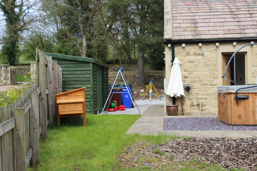
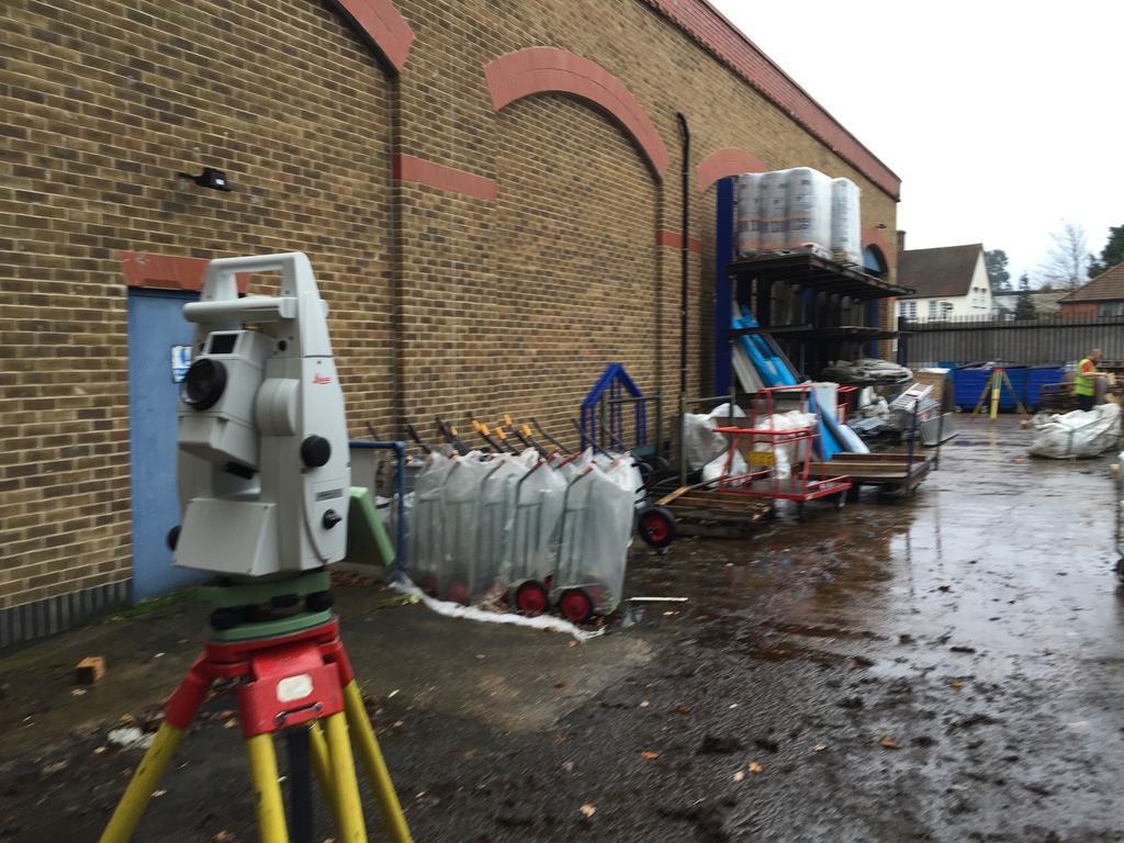
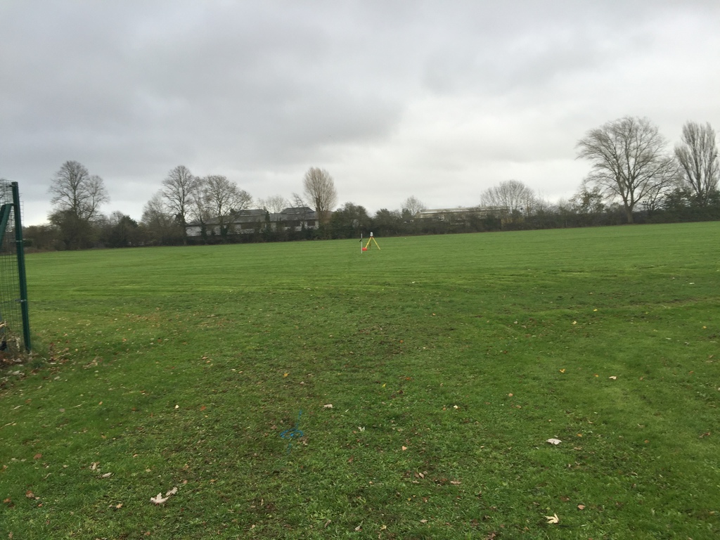
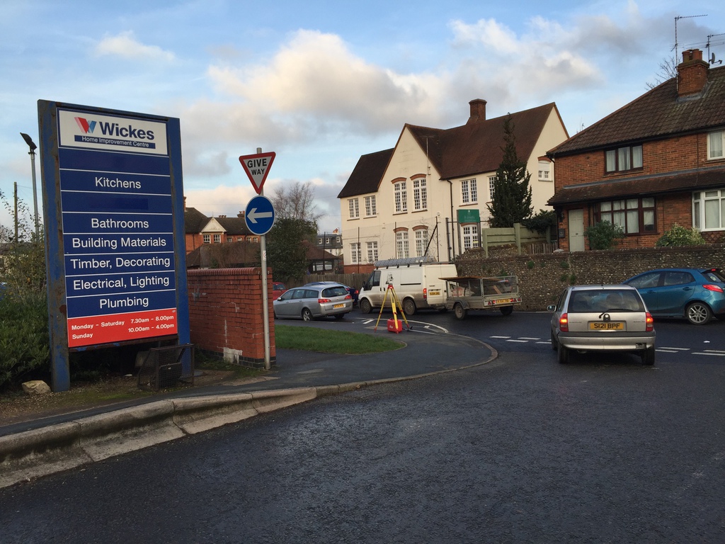
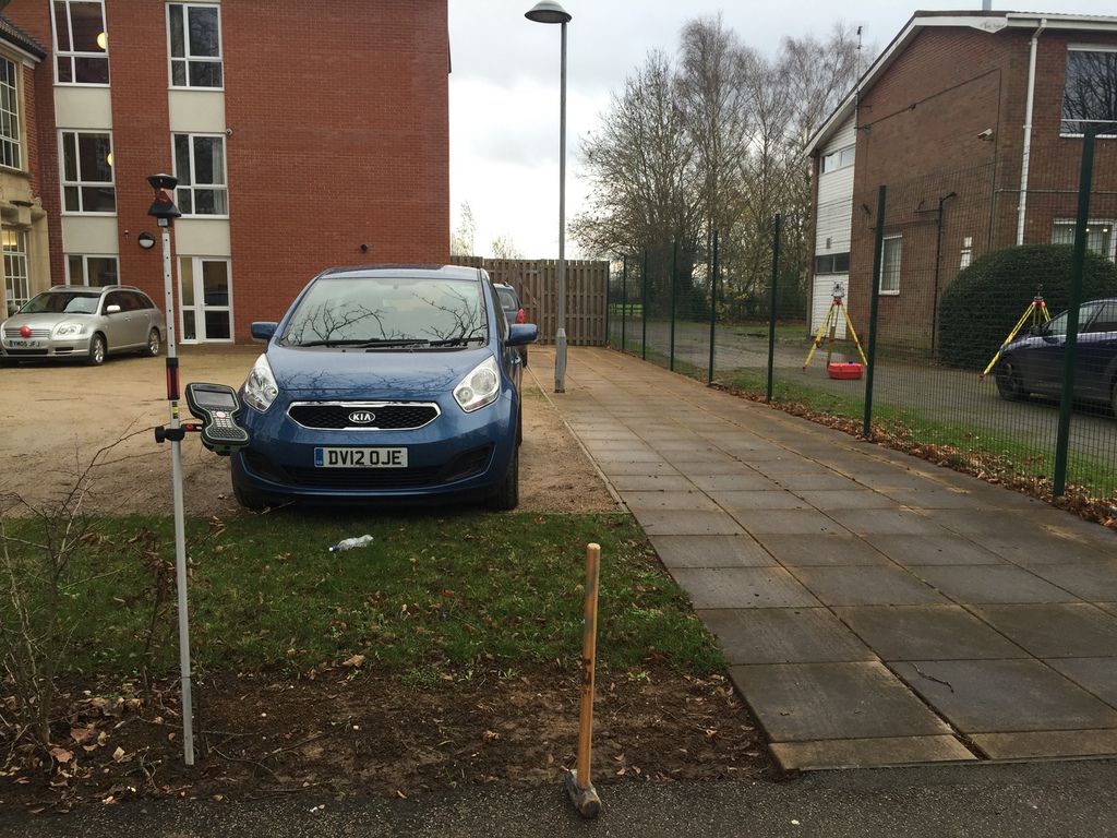
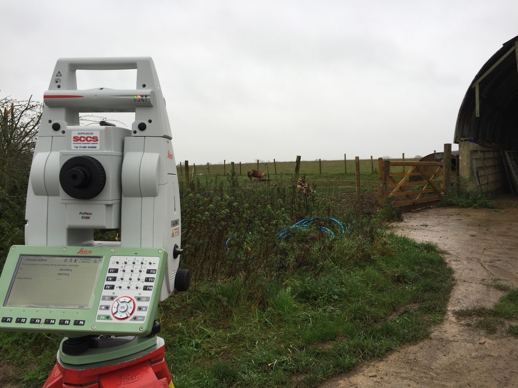
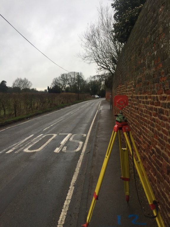
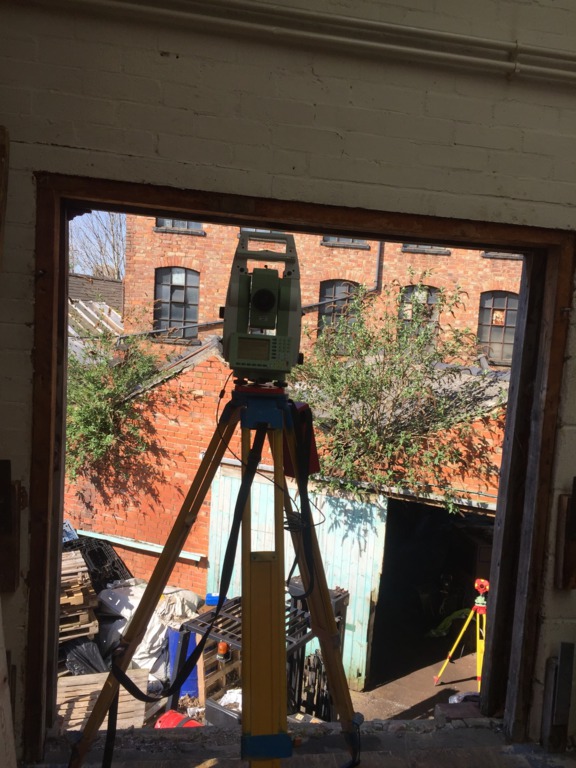
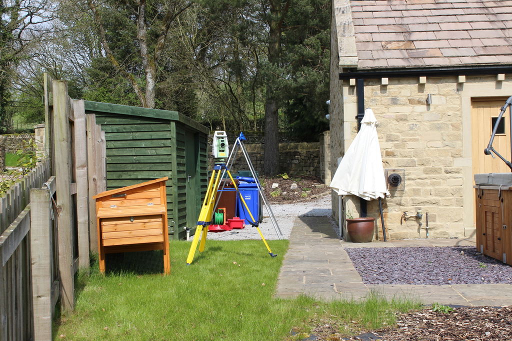
Gallery


Contacting us at:
SightLine Surveys
31, Riverside Drive
Ballina
Co. Mayo
F26Y2P4
Republic of Ireland
or by giving us a call
Tel: +44 7544662545
Tel IRL: +353 864670936
E-mail: info@sightlinesurveys.co.uk
You can also use our contact form.
Welcome to our new website!
Thank you for visiting us online! You can find useful information here about the services which we provide.
